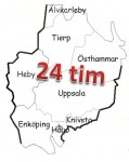
There is a geocaching challenge in Uppsala: to visit all 8 municipalities in the county of Uppsala within 24 hours. When I first saw this challenge, I wondered if it was possible to do this by bicycle. I took a map and roughly sketched what would be the shortest possible route to travel to all necessary regions and then there needs to be some geocache in reach as well. Then, last year, the days became shorter again, summer was over and I postponed this project into the indefinite future.
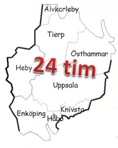
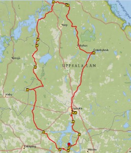
So far this year the weather has been very unstable, cold and rainy. Now my vacation time has started and according to the forecast from a week ago, there was a good chance that the weather would be fine all day this Sunday, all over the region. I watched the forecast daily, and made some preparations. I printed out detailed maps from Lantmäteriet, laminated these into plastic pockets and marked the municipality borders and a rough route.
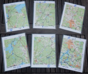
Once I had the route in place I noticed that it could take me to a yet unsolved mystery cache from my buddy Lars, so I had to put some extra effort into solving this one as well. I succeeded and I had set my mind to the task. I charged up two powerpacks for my smartphone, for you don’t want to be without power on such a trip. I also charged four AA batteries for my Holux GPS logger which was supposed to track my trip and the battery for my camera. I set my alarm clock to an early hour, especially considering that we are talking about a Sunday.
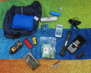
Sunday morning I snoozed my alarm clock for 15 minutes, but finally I decided it’s now or never. I packed some bread, chocolate bars, a rain jacket, my camera and smartphone, tools to fix the bicycle and my body, and of course some geocaching essentials like pencils, flash lights, a small notebook, empty logg-strips and plastic bags for field maintenance. A yet unsolved mystery to me is what happened to my second powerpack for my smartphone – it appears to be gone…
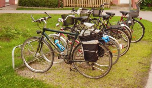
At about 05:30 the bicycle was loaded up and the adventure started. The first cache, Sunnerstastugan, I reached at 06:00 still in Uppsala – a good start…
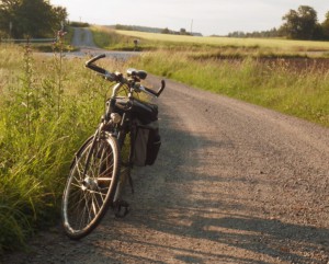
The trip continued then south on the old main road between Uppsala and Stockholm to the municipality of Knivsta. I had aimed for a cache close to the road at a place I would easily recognize without looking at the GPS all the time while cykling. The cache, Kai’s Kache, is located close to a small airstrip with three old, soviet helicopters, which have fascinated all the time since I have passed this place for the first time more than 10 years ago. At 06:36 I could sign the logbook of this cache and continue my trip.

Soon after I had to leave Uppsala county and enter Stockholm county
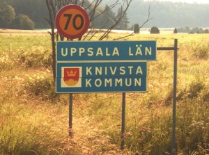
I had just left Uppsala county, entered Stockholms county and Sigtuna municipality and was heading south west on street 263 towards Erikssund. To this bridge over the northern arm of the Mälaren lake I have bicycled before – both from Uppsala and before that from Sollentuna. What I didn’t know before was, that there was a geocache, Erikssund, placed close to the bridge, at 07:10 I signed the log on this one and continued into the next municipality,
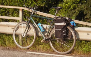
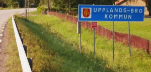
Now I was already in the next municipality, Upplands-Bro, and even though this was not part of the challenge I was looking for a nearby geocache to pick on the way. There appeared to be none along the main road, but with a short detour I could pass by Välkommen hem Sköldis! Nya.
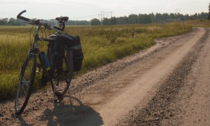
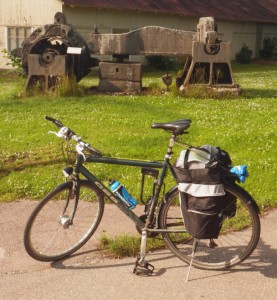
This detour led me to the first of many gravel roads and after I had signed the log at 07:30 I continued west. Had I not taken the detour I would not have passed a place which apparently over centuries has put an effort into wind power, both of which ended with little success:
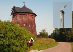
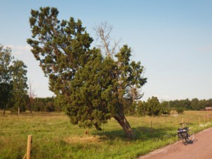
Next I passed the biggest juniper I have seen so far. Not a shrub, but a real tree – amazing to see, but a bit on the tipping edge I’m afraid. A short bit later I was back on the main road 263 and back in Uppsala county, Håbo municipality. On this road you pass a large storage space for library books, in the middle of nowhere, and a plant school for trees.
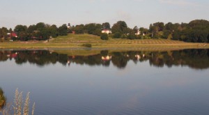
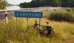
Around one more curve on the road is the bridge over Varpsund and just on the other side there is quite an old geocache, Warp sound, placed already in September 2002! I followed the steps of this multi-cache and was able to sign the logbook at 08:10.
Next on the road I passed a number of runestones at Övergran church and in the area of Kumla, indicating that this area of Uppsala county was of some importance already during the viking ages.
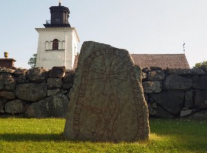
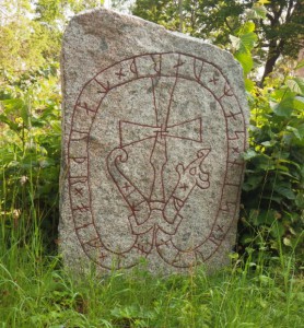
Between these two runestones I had passed another border between two municipalities and was now in Enköping municipality. On the small road I was traveling there was. however, no indication of this transition. I continued on my trip to the village of Örsundsbro, where the next geocache was already waiting for me.
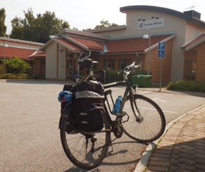
The description of the geocache, Kloster Plåster, (monastery bandaga) asks for stealth, which is hard to achieve in a neon-yellow shirt, but at 09:36 on a Sunday morning nobody was following my successful attempt to find the cache and sign the log.
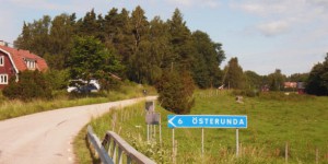
From Örsundsbro the trip continued passing under the main road 55 and northbound towards Järlåsa. On the way I passed just about a kilometer by Lars’ cottage. I refused an invitation for a coffee in order not to deviate from my schedule.
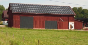
By the road I passed a couple of quite big photovoltaic installations. In Järlåsa it was then time for the first short pit-stop at the local shop in Järlåsa, before I continued on the other side of road 72 north towards the highlands of Uppsala county at an amazing elevation of about 100 m close to Siggefora.

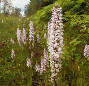
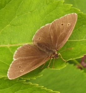
Järlåsa church is an interesting building with its octagonal shape. Like everywhere I was almost alone on the road to Siggefora: where is everyone? At the end of the road I had to make the detour to Siggefora in order to check out my next geocache, SM 2014. On the way to this cache I passed fields of orchids at the side of the road and a lot of butterflies filled the air while I had a short lunch break after signing the log at exactly 12:00 – the second cache for that day in Uppsala municipality, Uppsala county, six hours after the first one.
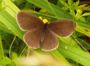
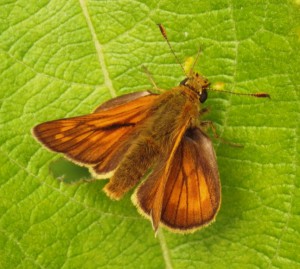
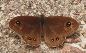
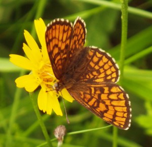
Before I continued on the road I had another short break for an ice cream at the camping site in Siggefora. Then it was time again to ride on – back towards Uppsala?
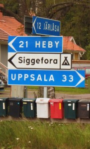
It felt a bit disappointing hat after six hours I had only managed to get 33 km away from Uppsala. If you want ot get away a place then riding a half circle around the place is perhaps not the most efficient method. I passed a sign to a small place called Kallön – a gravel road, but a funny name for a place, meaning the cold island. It somewhat stuck to my mind and it would take quite a while until I again, on the next big road, saw another sign to the same place. Yes, it might have been a shortcut, but probably not a faster way than to stay on the bigger roads this time.
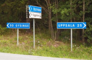
After a couple of kilometers I reached the road 272 between Uppsala and Gysinge which would bring me to the next municipality, Heby.

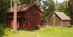
Harbo is a small village with a petrol station and a supermarket where I again filled up my supplies of liquids, before I continued north. A geocache was supposed to be located at the local historical museum site so I cycled on and watched out for a sign to the Hembygdsgård. But as so often in Sweden: the sign you are waiting for just never comes and I was about to leave the village when I became suspicious and looked on the map on my smartphone. And I realized that I had just passed the closest point to the geocache. I “parked” my bicycle at the roadside and hiked a couple of hundred meters through the woods to find the cache and sign the log at 14:06.
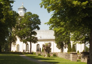
The next village on my trip was Östervåla, 1600 inhabitants and not a single geocache. In this village road 272 meets road C746, there are two supermarkets around a small town square and quite a nice church at the southern entrance.
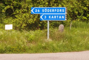
My route was supposed to continue on a minor road north towards the most northern municipality, Älvkarleby, passing by the village of Söderfors on the other side of a large forest region. I was hoping to find the correct road from Östervåla – and yes, there it was, a big sign to Söderfors, just another 26 km to go. But about half way through the forest there were at least some geocache locations. A bit more surprised I was to find a sign to a beach in the middle of nowhere in the forest. But the most surprising encounter was an eagle which had been resting at the side of the road and lifted graciously just in front of me.

The first geocache on a side track, Varning för Tåg, (beware of the train) I found and signed at 15:40 – there are even more caches down this side-road, but for those my tight schedule would not be flexible enough. Also I spent a bit more time with this cache than I had planed, because I had to fix the container in order to put it back in place.
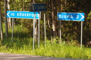
Just short of this junction I noticed an interesting road sign, which I discovered then was also marked by a geocache. Yes, I saw the sign first. What I didn’t see was that the owner had sent Hur långt är det fågelvägen into the grave of archive just a few days earlier. Unknowingly I looked for the cache, until I found it in a blue plastic bag on the ground. Reading the latest logs I wonder why the previous visitor only had commented on this fact, but not done anything against it. Shouldn’t we geocachers try to keep nature clean and tidy? Why do we even organize CITO events? I feel somewhat ashamed… Still not noticing that the cache was supposed to be archived, I fixed a preliminary new cache with log to replace the ugly remains of the old one – which I of course took with me!

A couple of kilometers south of Söderfors, suddenly the view to my left widened and I had reached the bank of the river Dalälven, which at this point almost looks like an ocean or at least a very big lake. Like many more Swedish rivers up north from here, also Dalälven is sourcing quite a lot of hydropower stations, being dammed every couple of kilometers just in front of the next power station. Somewhere along this road I saw a small critter which I identified as a pine marten, crossing the road.
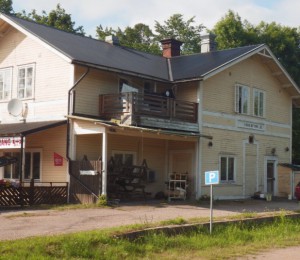

The first thing I saw from Söderfors was a building which you can immediately identify as an abandoned train station turned into a restaurant. Not even the rails are left, but the sign telling the stations name and altitude is still left on the building. With Söderfors I was also already deep inside the next municipality, Tierp, and since there were geocaches in Söderfors, why not try and check off this municipality off my list directly here? Well I tried my luck with Mumbling but didn’t find it in my own set timeout period. Since the same cache was actually logged the same day, I must simply have been blind…
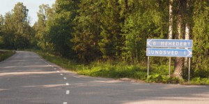
The next village to pass on my way was supposed to be Mehedeby. I was close to take the wrong route from Söderfors, but just in time I noticed my mistake – because I knew I was not supposed to cross Dalälven.
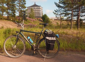
The correct road then took me to Mehedeby and close to the famous highway stop Dragon Gate.
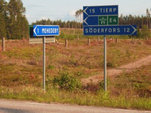
It is possible that I could have reached my cache for the municipality of Älvkarleby already here. But I wasn’t sure where the border between the municipalities Tierp and Älvkarleby actually goes and there was no sign on the road to be seen either. Instead I had set my eyes on a geocache in the village Marma, if I would fail there I would probably have to continue all the way to Älvkarleby.
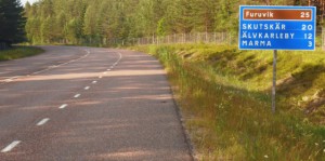
The possible infrastructure object which would house the cache was quickly identified at the beach area of Marma. The weather was still nice, but it was not really suited for the beach and therefore the area was abandoned – if it wasn’t for the pizzeria on the other side of the road and a guy in a SUV which was staring directly into the direction of the cache. I decided to take a break and wait – and finally the second person belonging to the SUV returned to the vehicle with some pizza boxes. Finally, I could approach the structure, find the container and signed the log for Marma at 18:55. Just now I noticed that I had missed the one-year anniversary of this cache by a single day!
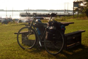
Ok, two more municipalities to go. My maps showed a road which started directly at my current location on the beach to the east, leading back into Tierp municipality. The road started nicely, but shortly after becam yet another gravel road. Not too bad, but, well…
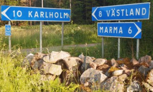
Along this road there were two interesting geocaches, even though I only needed one in this municipality I wondered when I would have the chance to come back along just this road and therefore decided to go for both. First I passed Halvannan Gran which I found and signed the log at 19:50.
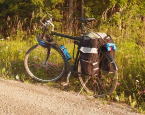
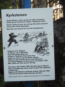
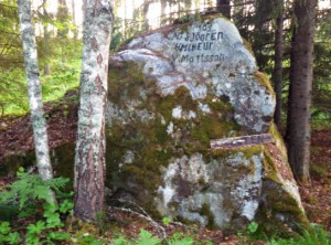
In between the two geocaches I passed an information sign at the side of the road, telling the interesting story about a church stone. In old tales this stone was supposed to be rotating when the church bells rang on Sundays, frightening the peasants on their way to the church. In order to bust this myth three boys have carved their names into the stone at the beginning of the 20th century – and since then at least the stone has not moved again.
The next geocache brought me to an abandoned military site where I could find the container and sign the logbook of Missile Launching Pad at 20:10. A really interesting place and a very old cache which had been placed here already in September 2004. Just north of Västland I came back onto a major road. Now there was exactly one municipality left to visit and about 3 hours of time until midnight. Not too bad, even if it was still some distance to cover to the nearest or most promising caches in Östhammar municipality. And even worse, the battery of my smartphone was so low that I decided to shut it off completely. I could only find one of the two power packs which I had supposedly packed and that did not appear to do its magic.
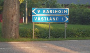
On the new road I now had two possibilities to get to Österbybruk, a small village with several caches in the correct municipality. I could go straight for Tierp and then follow the major road 292 or I could take a more scenic and possibly calmer, even somewhat shorter way.
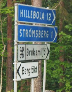
I had already passed the smaller side road for the alternative route when I re-decided and went for Hillebola – if for nothing else, then for the sound of the name. And would you believe it, Hillebola even has its own Wikipedia page where you can read that it was the smallest of all mill-towns in this region, I knew there was something special even about this place!
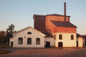
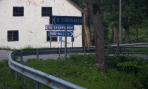
What came now was a long, seemingly endless and cacheless trip over a gravelroad which looked exactly the same to me as the gravel road between Marma and Västland about an hour earlier. Forest to the left, forest to the right, it also finally got considerably colder and darker so that I put on a light jacket and put on the backlight on my bicycle. I finally arrived at Hillebola, ate my last chocolate bar and came back onto a better road, which let me pass places like Knutbo, Esarby, Prästarby.
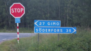
Then came a sign to turn right for Örbyhus, which I almost did and which would have cost me some unnecessary kilometers at this late stage of my trip. Instead I continued straight forward to Upplanda. Again it felt a bit depressing that I had only made a distance of 35 kilometers to Söderfors in all the hours since I had been there, almost five hours ago!
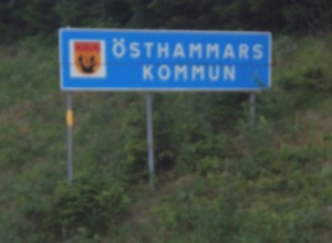
Just a few kilometers down the road 292 I was welcomed into the last municipality on my adventure, Östhammar. But is was still some ten kilometers to the village of Österbybruk. Seeing such a place in the middle of the night can also be quite interesting. Since I was not able to find the first cache directly at the entrance to the village, I had to continue into the place. There in the middle of the night, the village youth was chasing each other on their motorbikes, while the slightly older population met with their cars for a beer and smoke outside the – closed – local pizzeria. I had a brief look around a corner onto the area of another geocache, but decided that I didn’t want to end this evening by crawling through stinging nettles. Therefore I continued all the way to the other side of the village to Vallonen, yet another old cache (from October 2005), where I put the day’s last signature into the logbook at 23:15.
All that was left at this point was the return home. At the entrance to Österbybruk there is a sign giving the distance to Uppsala along the road 290 as 44 kilometers. However, I don’t know to which part of Uppsala this distance is given. It should take me about 2,5 hours before I could climb off the saddle at home. Before coming home I met a hedgehog on the sidewalk in Gamla Uppsala, welcoming me back to the city I had left 21 hours earlier.
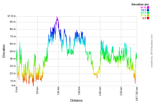
Finally I was able to extract the height profile of the trip with the help of GPSVisualizer:
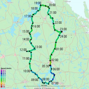
Playing a bit more with GPSVisualizer I must say that I am not too disappointed with my average speed during the trip:

Nice start! Looking forward to follow the rest of this adventure !
Hej Homsa,
nu var den klar!
Riktigt imponerande!!
Skaplig cykeltur. Sov nog gott sen 😉
Värsta är att man blir sugen på att göra ett försök på samma sak :-/
Tur jag redan gjort den rundan, inte lika lockande då 😉
Hoppas kroppen återhämtade sig snabbt igen.
som sagt på facebook: förvånansvärd snabbt